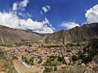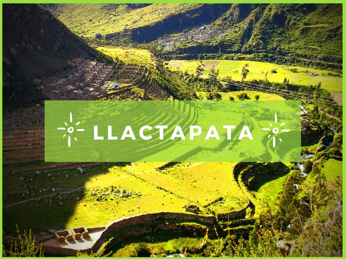
After a few hours of walking on the Inca Trail, hikers arrive at Patallacta, also known as Llactapata, where they find the first examples of Inca architecture on the route. The site is located in the Cusichaca river valley and is the first important settlement on the way to Machu Picchu.
Patallacta was mainly used for farming and as a checkpoint for the area. Its most visible feature is the system of platforms or farming terraces adapted to the mountain slope, designed for growing corn and other products. It is likely that these crops supplied those going to Machu Picchu.
The site is not walked through; it is seen from a viewpoint located on the opposite hillside, which allows you to appreciate the design of the complex and its relation to the landscape of the area.
This guide details the location of Patallacta, its role within the Inca system, how it is visited on the current Inca Trail route, and how it is different from Llaqtapata, a site with a similar name located on the Salkantay Trek route.
Patallacta means "high place" in Quechua. The complex is located in the Machupicchu district, Urubamba province, Cusco department, on the left bank of the Vilcanota (Urubamba) river, right at the point where it meets the waters of the Cusichaca river.
It is found at Kilometer 82 of the train track that connects Cusco with Aguas Calientes, and it is the first great Inca ruin that hikers see from above during the first day of the Classic Inca Trail.
It is located at an approximate height of 2,750 meters above sea level (m.a.s.l.), a mild and high jungle climate friendlier than that of the city of Cusco. Also, the complex is made up of several areas: enclosures, platforms, squares and canals, among which the farming terraces and their drainage system stand out.
Patallacta was not just a passing town: it played a role of supply, control, and farm support for the groups heading to Machu Picchu. Some sources say the Inca Pachacutec built it, although this specific authorship is not confirmed in the archaeological record.
Next, we will explore each of its main functions:
The central element of Patallacta is its terace system. The Incas changed the mountain slope through stepped terraces with a double purpose: to prevent soil erosion from rains and to create good microclimates for farming.
Because of its location at the meeting point of the Vilcanota and Cusichaca rivers, Patallacta also had access control and storage functions.
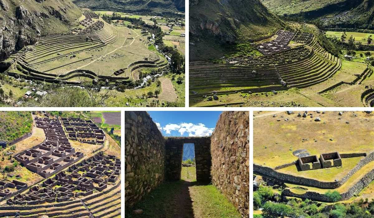
Ruins of Llactapata
There is a place with an identical name, this is Llaqtapata. It is located on the Salkantay Trek route and should not be confused with Patallacta which is on the Inca Trail route. Although in the Quechua language both names literally translate as "town on high" or "town of the terraces", they are two completely different archaeological complexes, separated by mountains and with very different purposes.
Here we tell you the story of this "name twin" that hides one of the biggest secrets of Inca archaeology:
While Patallacta is seen from the bottom of the valley at the start of the Inca Trail, Llaqtapata is located high on a mountain ridge, which is reached during the fourth day of the Salkantay Trek.
What makes Llaqtapata an interesting place on the route is summed up in three key points:
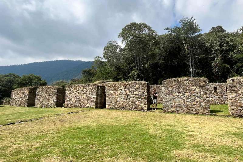
Even though they share an almost exact name and both are Inca archaeological sites close to Machu Picchu, Patallacta/Llactapata and Llaqtapata belong to different routes and had different roles within the empire.
COMPARISON TABLE
| Feature | Patallacta/Llactapata | Llaqtapata |
|---|---|---|
| Route | Classic Inca Trail | Salkantay Trek |
| Visit day | Day 1 | Day 4 |
| Main function | Farming and checkpoint | Ceremonial and astronomical |
| View of Machu Picchu | Does not apply (the site itself is seen from a viewpoint) | View of the back of the citadel |
| Location | Meeting point of the Vilcanota and Cusichaca rivers | Mountain ridge west of Machu Picchu |
| Rediscovery / study | Recorded within the Inca Trail system | Explored in 2003 by Hugh Thomson and Gary Ziegler |
Patallacta is not toured on the inside. Access to the structures is restricted, so the site is seen from a viewpoint located on the opposite hillside of the valley, during the first day of walking the Classic Inca Trail.
This way of viewing, although it limits getting close, allows you to appreciate the complete set of terraces and how it blends with the landscape of the Cusichaca valley, something that would be hard to notice walking between the structures. For many hikers, this is the first great archaeological view of the trip and sets the tone for what they will see in the following days.
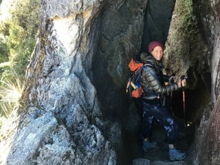
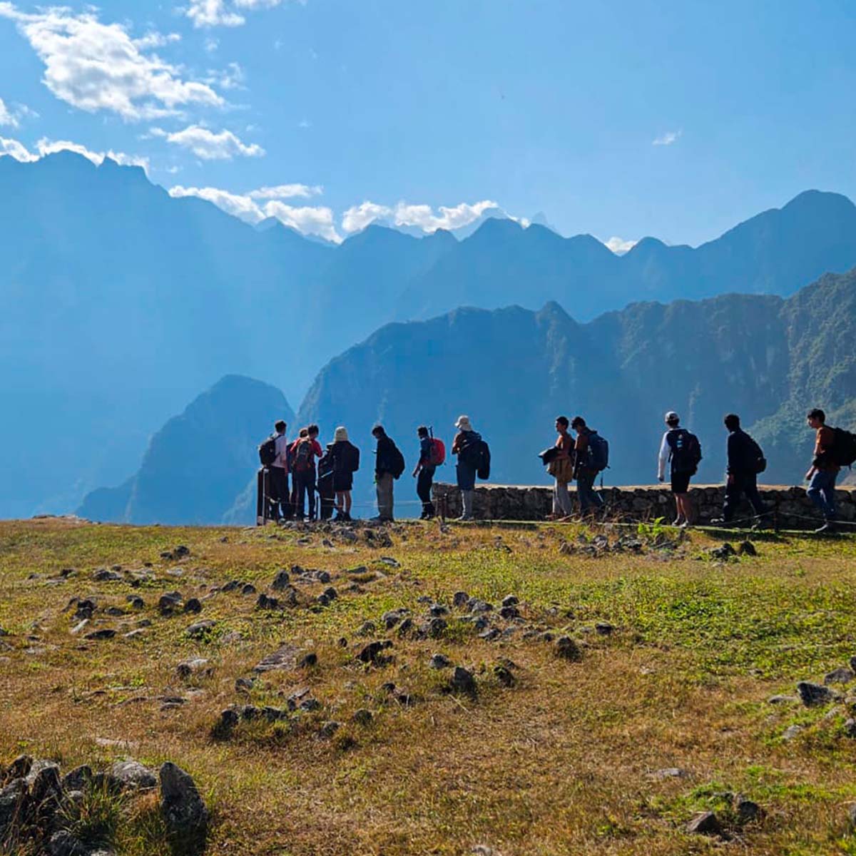
The Inca Trail goes through a mountainous and rugged terrain, with steep climbs and drops at the edge of cliffs, plus jungle sections where you can see different shades of green typical of the tropical forest.
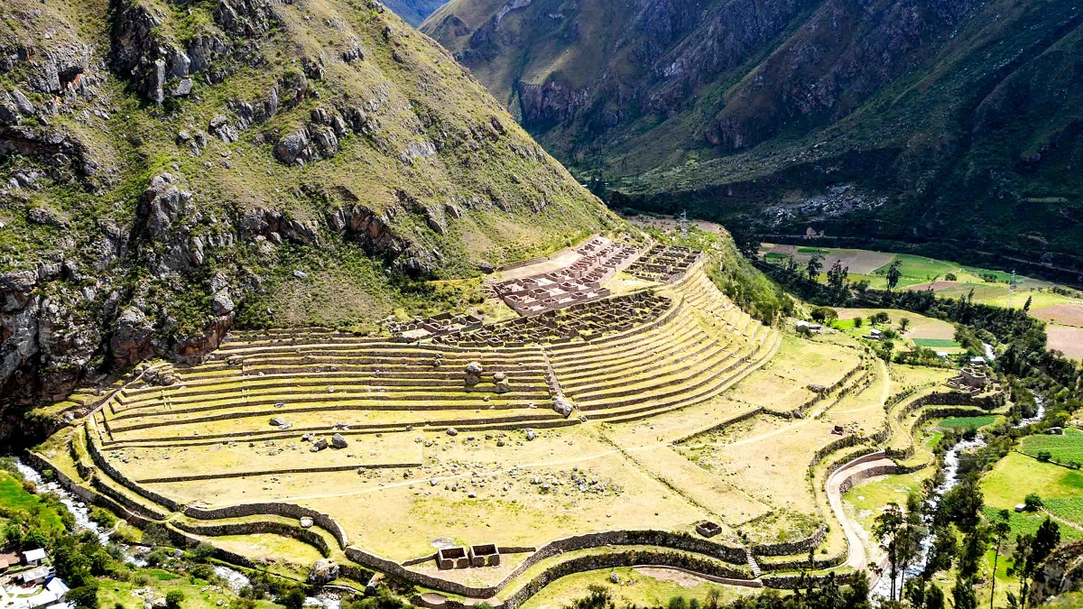
Patallacta Archaeological Center
Because the Inca Trail is very popular, you should buy your entry tickets six months in advance. You can only purchase the ticket online through the website of an authorized tourism agency. Every day, 500 people enter the Inca Trail. Only 200 of them are tourists. The rest of the staff includes cooks, porters, and guides. The ticket to enter the Inca Trail includes the support staff.
Didn't you find availability for the Inca Trail? Don't worry if the Inca Trail permits are sold out. This often happens because there is a lot of demand. Luckily, there are other ways to get to Machu Picchu. Each option offers a different experience. Here are the main options:
No matter what route you choose, you must book your ticket to the citadel of Machu Picchu separately and well in advance, as there are only a limited number of tickets available.
The best months to take the Inca Trail to Machu Picchu are from May to September, when it's dry. These months are usually good for the crossing because it doesn't rain often. From November to March is summer, which is also the rainy season. It usually rains a lot during this time, which makes it hard to walk and get around. You won't be able to cross the Inca Trail in February because of the rain and the ongoing maintenance work.
 |  |
Getting to Machu Picchu on foot is an experience that combines effort, adventure and the unique landscapes of the Peruvian Andes. Each route offers different views of mountains, valleys and historical sites, including different ways to get close to Patallacta and the rest of the Inca Trail. These are the most popular options:

 +51 84 226 547
 +51 912 891 560
 Av Tupac Amaru PP-10B, Santiago, Cusco, Peru
  info@salkantaytrekmachu.com
 www.salkantaytrekmachu.com