
The Inca Trail offers 42 kilometers of hiking to Machu Picchu. For a long time, this route has been visited by intrepid adventurers who want to explore the legacy of the Incas along a multi-day journey.
The Inca Trail crosses the Peruvian Andes. Historians and archaeologists call it the Qhapaq Ñan route, which originally ran through Ecuador, Peru, Chile, Bolivia, and part of Argentina. The Inca roads were used as a means of communication and connection between towns and temples. They also ensured that messages reached the empire on time, delivered by swift messengers known as Chasquis.
The Inca roads remained in use until the arrival of the Spanish. When the Inca Empire fell, the destruction of the pathways connected to sacred temples and towns was ordered, as invaders searched for gold—a metal the Incas used in religious ceremonies and considered to be the "tears of the Sun."
Although many routes were lost due to a lack of maintenance, others still remain today. Such is the case of the Classic Inca Trail, which runs from Kilometer 82 to the citadel of Machu Picchu. There is also a shorter option called the Short Inca Trail, as well as the more challenging Salkantay route to Machu Picchu. Many of these trails are lined with archaeological sites, religious centers, storage facilities called Tambos, water channels, and Inca terraces.
The Inca Road continues to hold mysteries that have not yet been revealed. Many archaeologists mention that the Inca road network is like the Milky Way, as the Incas were astronomers who looked far beyond what many of us can see today.
Anyone wanting to experience Machu Picchu in the Peruvian Andes with all their senses should hike the Inca Trail toward the Sun Gate. A more intrepid option is to reach this UNESCO World Heritage Site by combining the Salkantay Trek with the Inca Trail. Walking the original Inca stone pathways, surrounded by high-Andean peaks and cloud forests, culminates in a memorable arrival at the citadel of Machu Picchu.
The true origins of the Incas remain largely unclear to this day. They appeared quite suddenly in western South America—more precisely, in Peru. According to ethnological and archaeological findings, their rise occurred between 1000 and 1300 AD, though dates vary depending on scholarly perspectives. Later, weakened by internal succession disputes, their highly developed empire was destroyed by the Spanish conquistadors starting in 1532.
It is believed that the Inca people — who never called themselves by that name—may have originated from the vast Amazon basin, a region that today encompasses nine South American countries. However, this theory has not yet been proven.
There are countless legends from Inca mythology that they used to explain their origins.
Because the Incas had no written language in the conventional sense—using instead the Quipu, a system of knotted cords primarily intended for record-keeping and statistics—much of what we know today comes from Spanish chroniclers. During the 16th-century colonization, these chroniclers recorded orally transmitted legends about Inca gods, ancestors, and rulers.
The term "Inca Trail" originally referred to the vast road system of the Inca Empire. Estimated to have been between 30,000 and 40,000 kilometers long, this system was built upon routes from earlier cultures and expanded to surpass even the Roman road network.
While the rugged terrain often made these routes look like mountain paths, the network was defined by its incredible engineering. Two main highways crossed plains, swamps, and steep Andean passes reaching altitudes over 4,000 meters. Connected by secondary roads, this network provided the Incas with an invaluable communication advantage.
Relay runners (Chasquis) delivered messages across distances of approximately 2,000 kilometers in just a few days, running continuously from one station to the next long before modern logistics existed.
Advanced Engineering
Protected from landslides by retaining walls and built on solid foundations, these roads crossed suspension bridges over deep chasms, passed through stone tunnels, and traversed marshes via paved embankments.
Laid out in remarkably straight lines—measuring anywhere from 8 to 16 meters wide in certain sections—the road network was used not only for messages, but also for transporting goods using llamas, moving troops, and carrying dignitaries in litters.
Rest houses (Tambos), post stations, llama stables, and supply warehouses were placed at strategic intervals along the routes. Although the Incas lacked iron tools, work horses, or the wheel, they engineered a lasting network of roads, palaces, sun temples, irrigation systems, and agricultural structures.
Following the Spanish conquest, many of these roads began to decay. Today, surviving sections are preserved and restored using archaeological methods with the support of UNESCO and international organizations.
When travelers talk about the Inca Trail today, they are usually referring to the popular 35 to 45-kilometer trekking route in the Peruvian Andes.
Starting from Cusco and leading from Kilometer 82 near Ollantaytambo through Wayllabamba, Pacaymayo, and Wiñay Wayna to the citadel of Machu Picchu, this famous trek represents a historic, high-altitude section of the vast imperial road network.
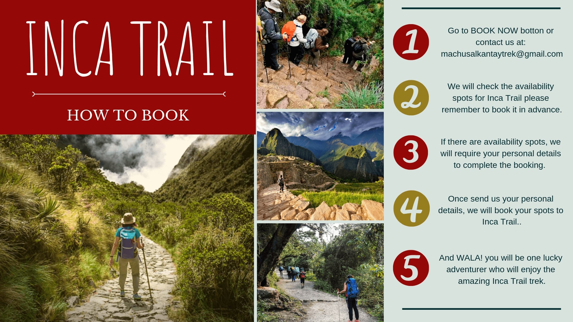
Crucial Trail Note: Due to strict environmental conservation laws, trail access is capped by the Peruvian government. Permits sell out months in advance, making early booking essential.
The Classic 4-Day Inca Trail is a demanding high-altitude trek. While it does not require technical climbing skills, it demands good physical conditioning, proper footwear, and adequate acclimatization in Cusco (at least 2 to 3 days at elevation prior to starting).
Reaching Machu Picchu on foot after four days of hard work adds a level of achievement that train travel simply cannot match.
The Inca Trail trek to the Sacred site begins either at Km 82, Piscacucho, or sometimes at km 88, Qorihuayrachina, and take note you will be at 2600m.a.s.l In order to reach km 82 hikers are transported by their tour operator in a minibus on the road that goes to Quillabamba. From Piri onward the road follows the riverbank and ends at km 82, where the adventure starts crossing a bridge. Please it is very important to keep with you your personal documents because Sernarp and Culture Minitry will welcome us checking our personal documents and they will compare your full name, passport number and nationality, so please take your original passport for the Inca Trail Peru.
The walk to Huayllabamba, following the Cusichaca river, is about 3 hrs and isn't too arduous. Beyond Huayllabamba, there is camping places about an hour ahead, at Llulluchayoc (3200m). A punishing one and a half hour climb further is Llulluchapampa, an ideal meadow for camping. If you have the energy to reach this point this will make the second day easier because the next stage, the ascent to the first pass, Warmiwañuska (Dead Women's pass) at 4200 m, is an utterly exhausting two and a half hours trek.
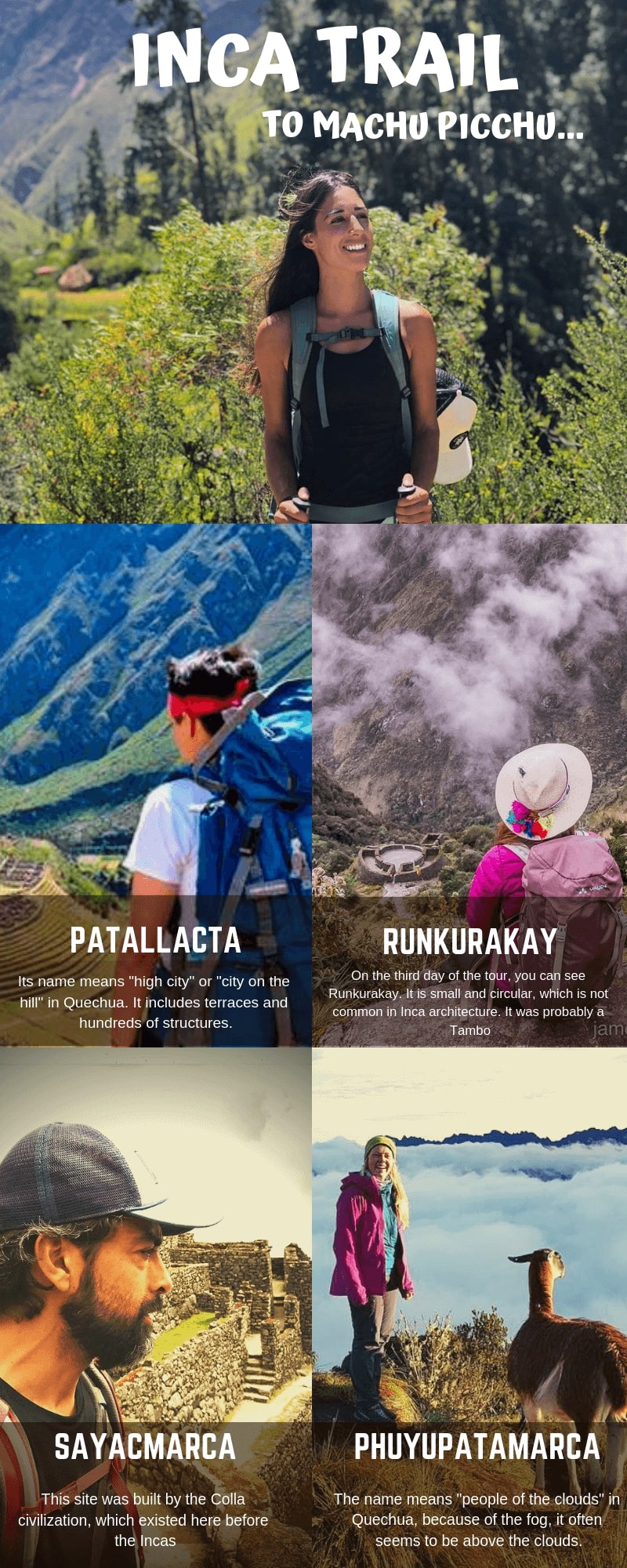
Afterwards take the steep path downhill to the Pacaymayo valley, beware of slipping on the rainy Inca steps. You could camp by a stream at the bottom (one and a half hours walking from the first pass). It is no longer permitted to camp at Runkuracay, on the way up to the to the second pass (a much easier climb of 3850 m.a.s.l). Magnificent views near the summit in clear weather. A good overnight place is located about 30 minutes passing the Inca ruins at Sayacmarca (3500m), about an hour on after the top of the second pass.
After 2 hrs climbing on a fine stone highway leads through an Inca tunnel to the third pass. There's a spectacular view of the entire Vilcabamba range near the top. You descend to Inca ruins at Phuyupatamarca (3650 m.a.s.l), where is well worth a long visit, even camping overnight. There is a 'Tourist bathroom' here where water can be collected (but purify it before drinking). From there, steps go downhill to the impressive ruins of Wiñay Wayna, (2700 m.a.s.l.) with views of the recently cleared terraces of Intipata. Access is possible, but the trail is not easily visible. There is a small campsite.
The path from this point goes through jungle until the steep staircase up to the Intipunku (2 hrs walk), where you find a magnificent view of Machu Picchu, especially at dawn, with the sun alternately in and out, clouds sometimes obscuring the ruins and sometimes leaving them clear.
The climate is relatively mild all year round, with heavy rains from November to March, and dry and hot weather from April to October, so these months being the most recommendable to visit. The minimum annual temperature ranges between 8 ° to 11° C. In the months of June, July and August the temperature can fall below 0 °. The maximum annual temperature varies from 20° to 26° C. The terrain is quite irregular, with ravines and holes fed by glaciers that finally pour their waters into the Urubamba River, which crosses this area forming a deep valley that extends through the granite base of Vilcabamba for more than 40 km. crossing through a variety of ecosystems.
The following client information is requested for any Inca Trail booking:
The exact information provided by you will be submitted to the governmental institution in charge of regulating the access to the Inca Trail and will be included in the official permit to enter the Inca Trail on the requested date. There shoulnd't be any change in the above-mentioned data (for example the New passport number); in that case, we kindly request you to inform the department booking at Salkantay Trek Machu Tour Operator via email as soon as possible.
The government reserves the right not to allow the entry to any visitor whose data are not the exact ones as those in the official permit. Salkantay Trek Machu excludes any responsibility for a no entry in case the passenger information has changed without prior notice to us.
Departure dates to Classic Inca Trail to Machu Picchu Daily departures are available along the year. Exception: one-month closing period of all Inca Trail routes in February. Please contact us to check departures to alternative routes. All Inca Trail departures are subject to government space availability.
Alternatives Treks: | Visit our top blogs about Inca Trail Peru: |
 16 September 2026
 09 September 2026
 02 September 2026
 22 July 2026
 +51 84 226 547
 +51 912 891 560
 Av Tupac Amaru PP-10B, Santiago, Cusco, Peru
  info@salkantaytrekmachu.com
 www.salkantaytrekmachu.com